Who we are
Precise weather forecasts and personal consultation for safe decisions at sea and ashore.
Built on 27 years of experience.
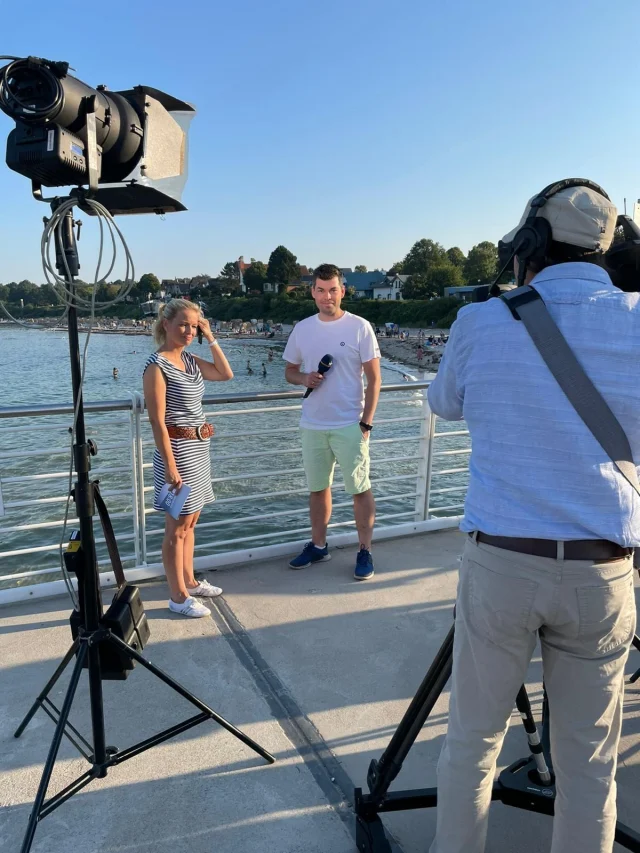

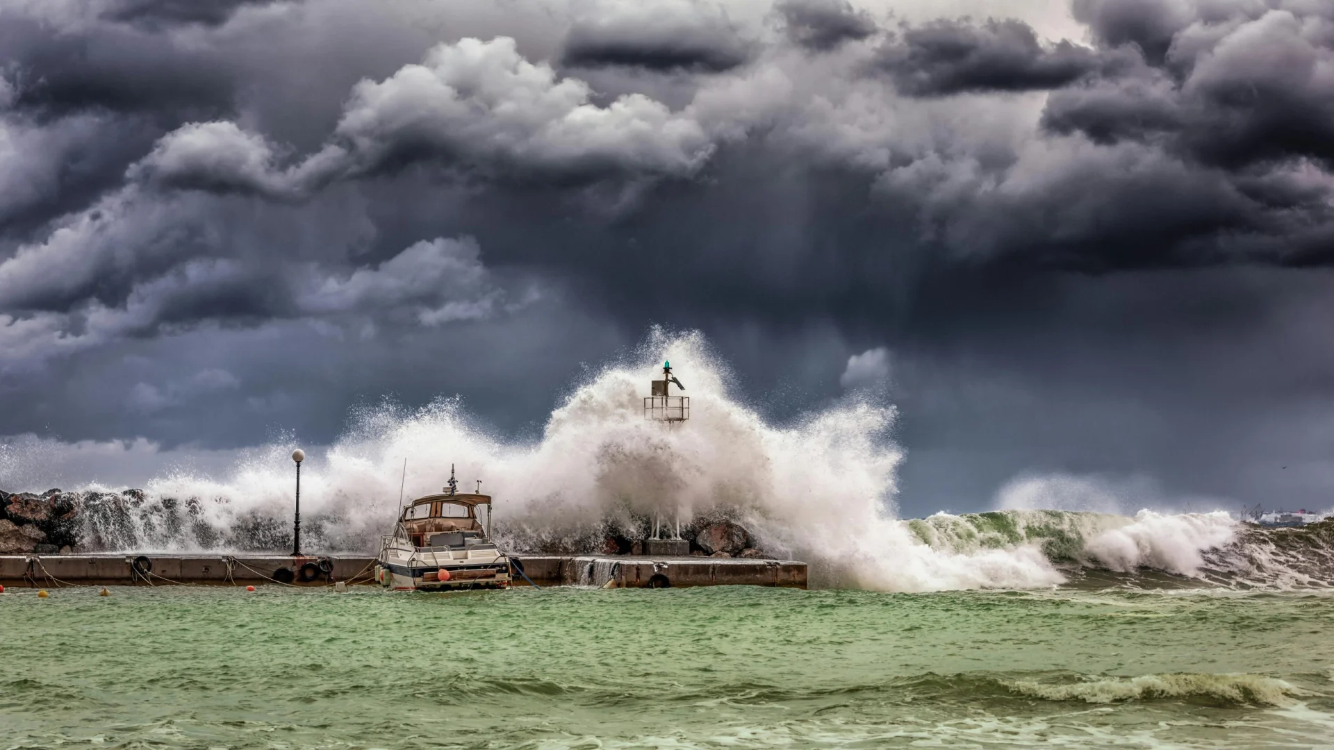
For operations, deployment planning and crisis preparedness
METEO MONITOR brings forecasts, maps and warnings together for your sites. We define relevant weather parameters, thresholds and recipients with your team, providing a shared basis for operational decisions – backed by meteorological advice.
An early-warning system is reliable when meteorological criteria and operational procedures work together.
Which weather parameters affect safety, staff and operations?
Warning and pre-warning limits are tailored to the site.
Forecasts and potential exceedances are presented clearly.
Detected warning situations reach the intended recipients through the configured channels.
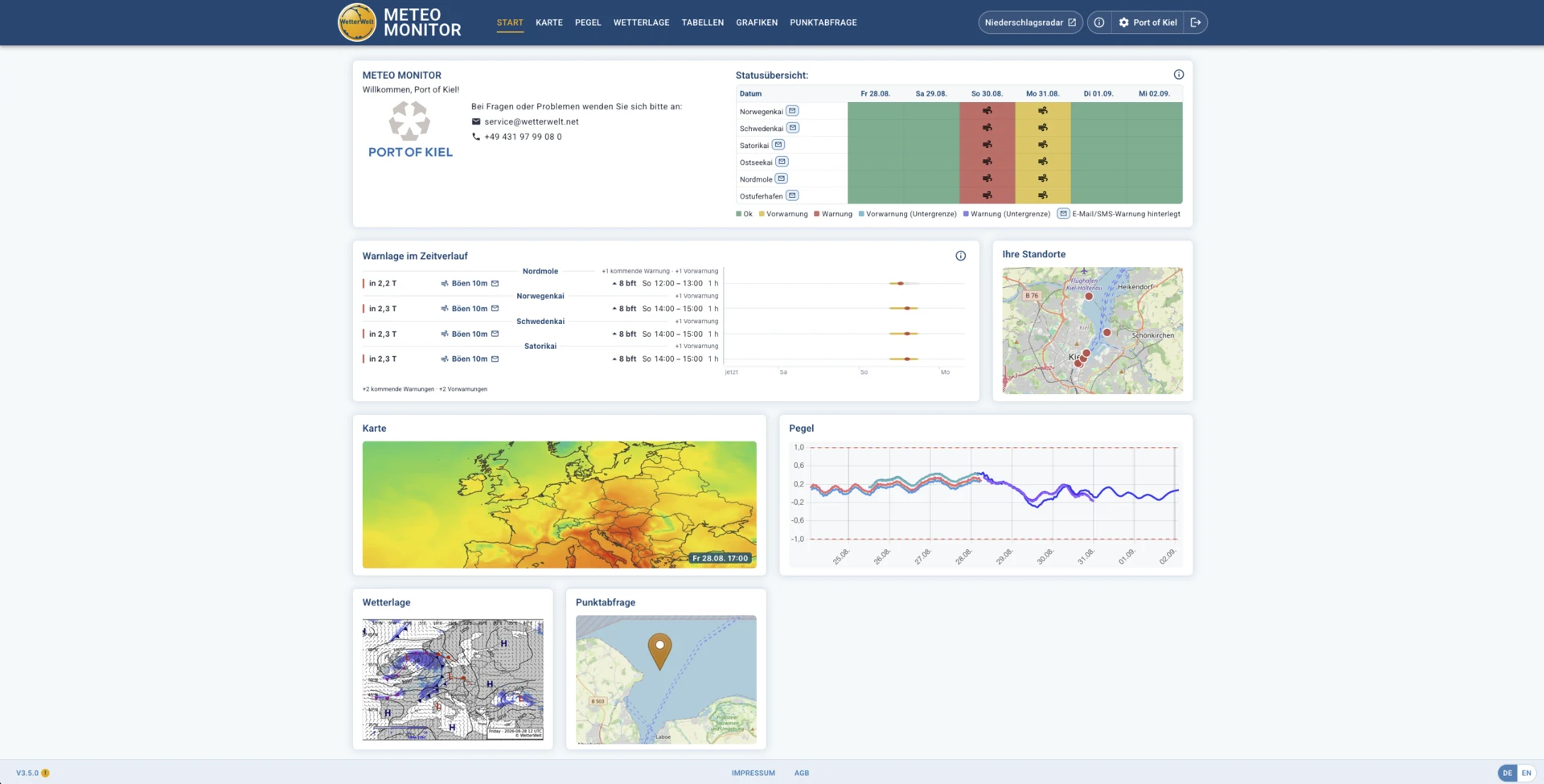
The dashboard combines site status, warning windows, maps and water levels in one shared workspace.
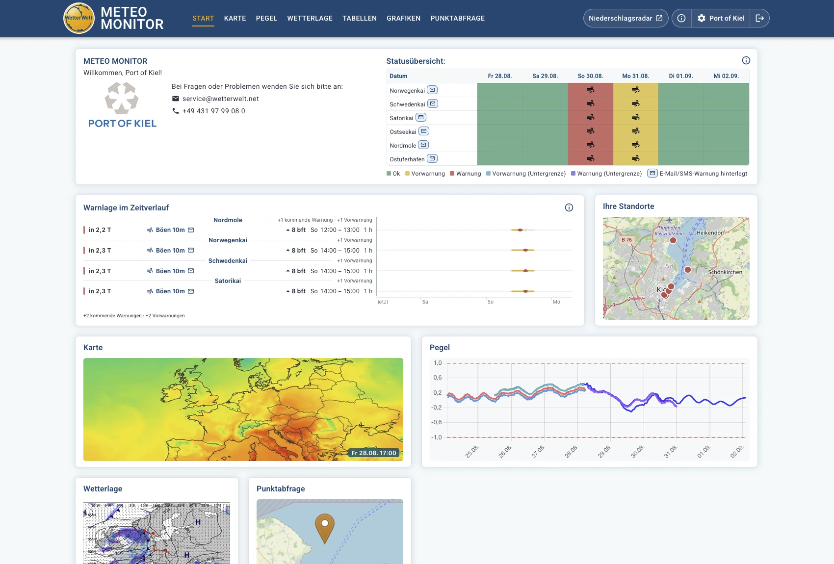
Status and warning levels at a glance.
Time windows and affected parameters presented clearly.
Move from the overview to maps, water levels, tables or point queries.
From the overview to an individual coordinate
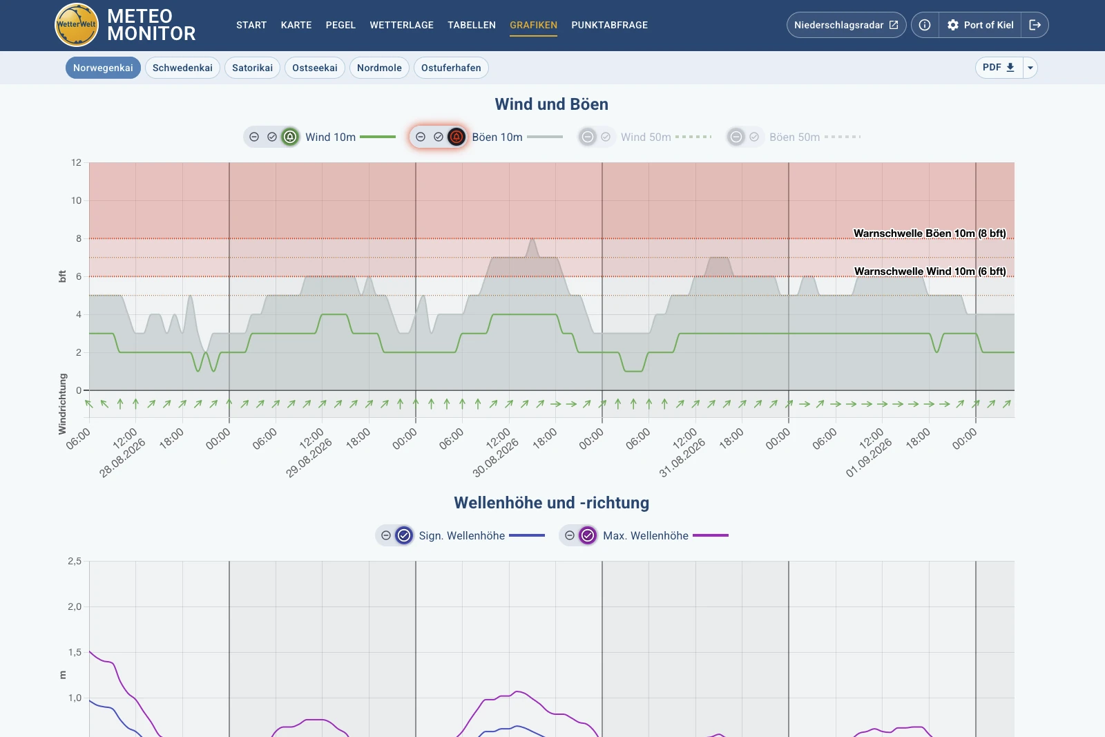
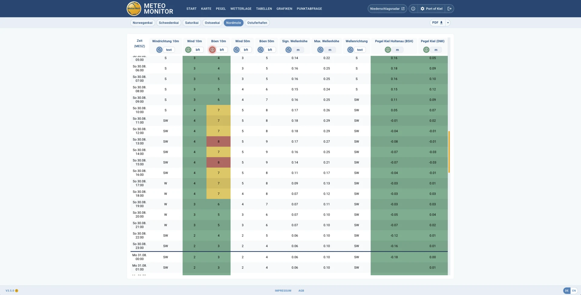
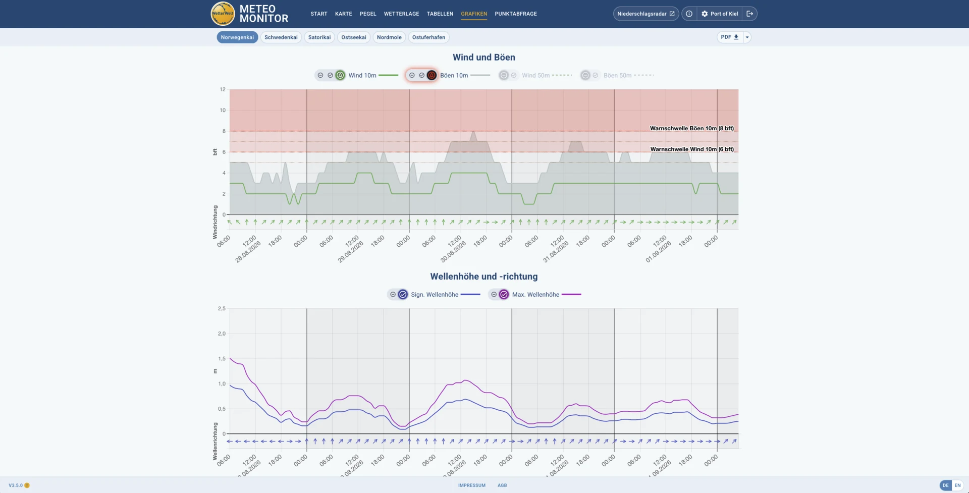
Wind, gusts, waves and other parameters are shown across the forecast period, with individual thresholds visible in context.
Enlarge view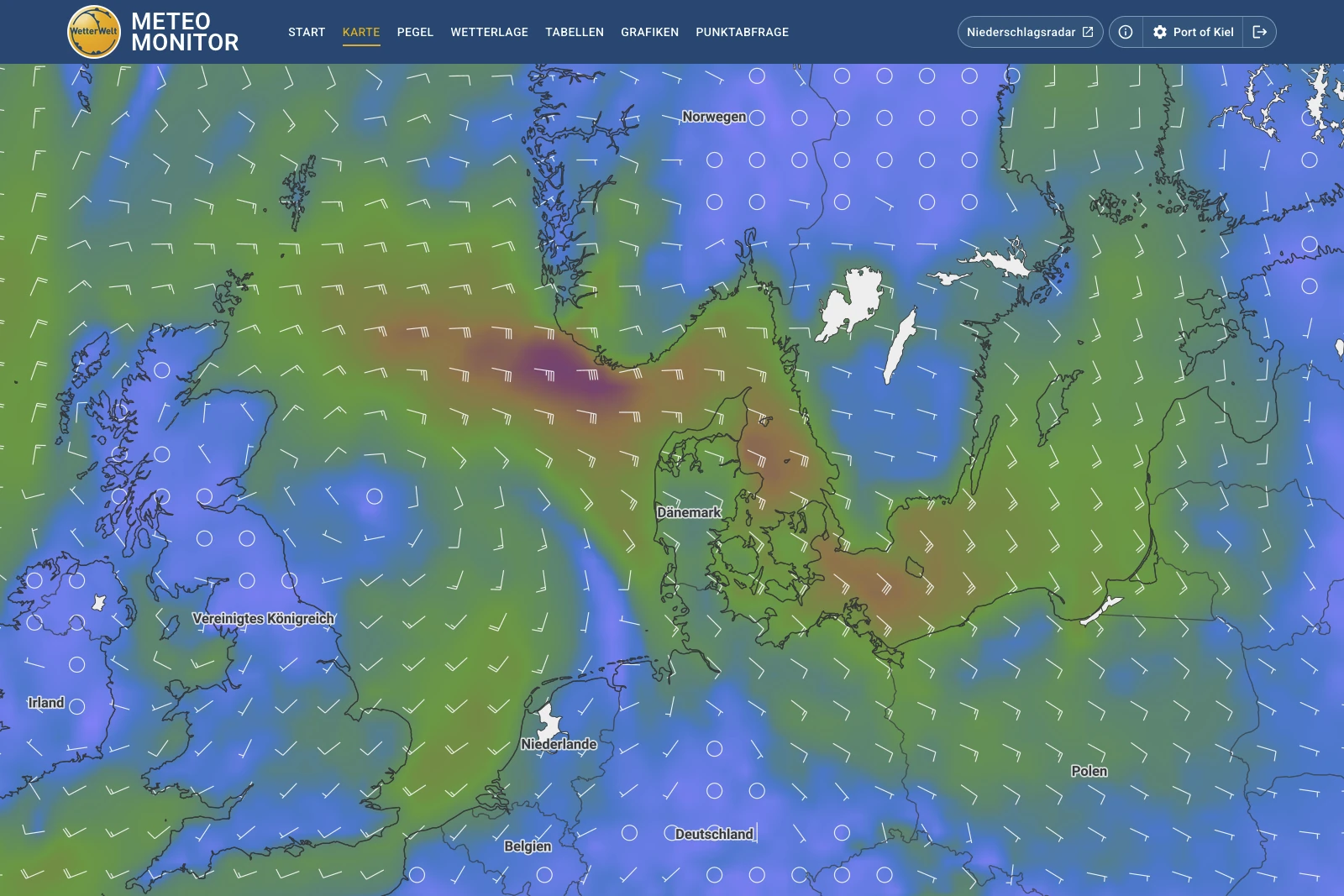
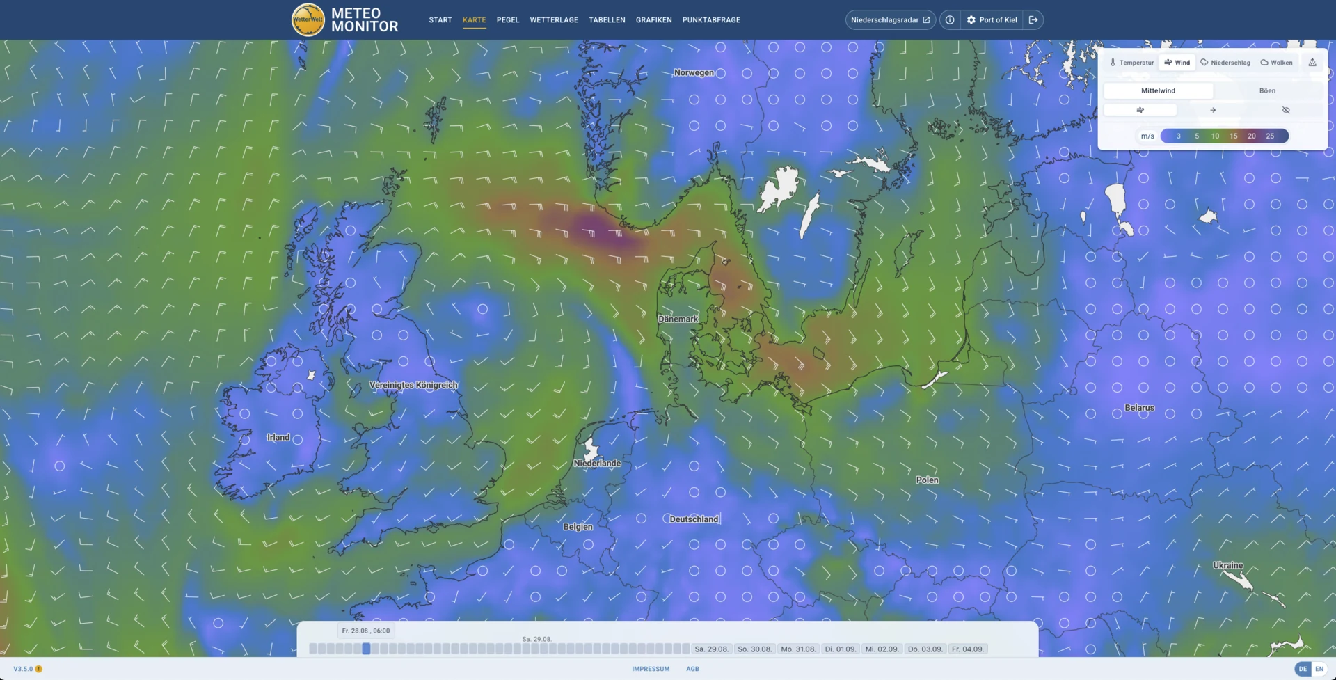
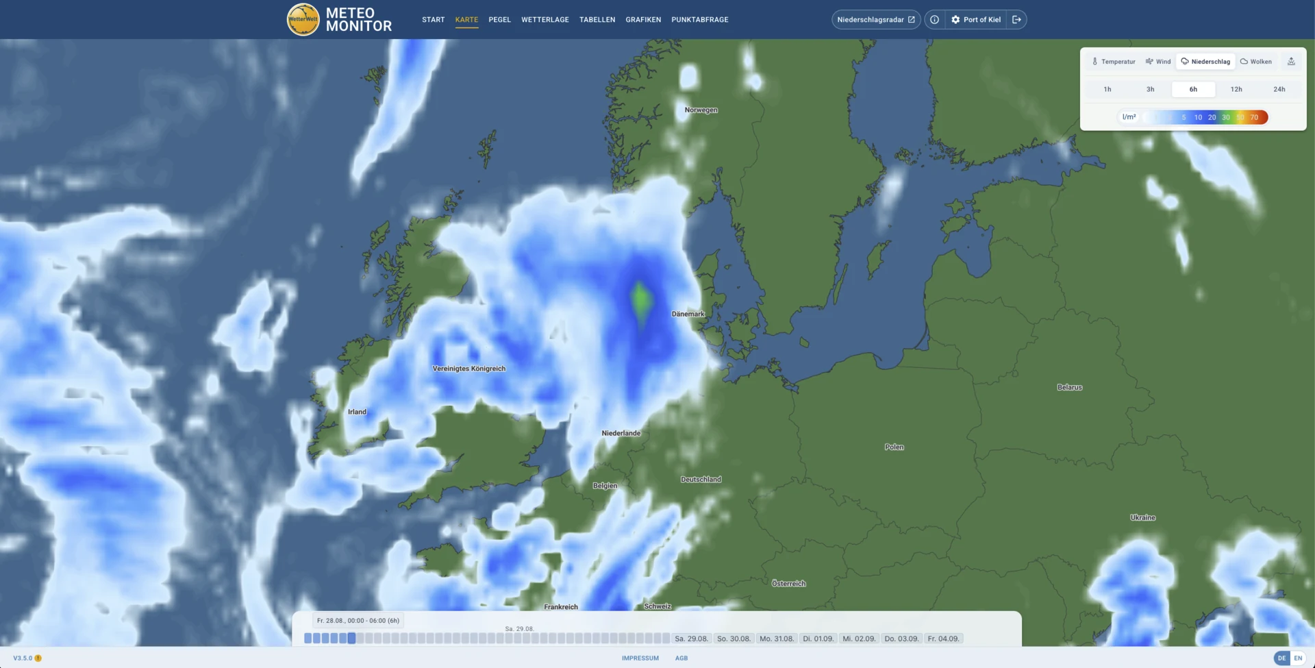
Interactive map layers show wind, precipitation, temperature and cloud cover across different forecast times.
Enlarge view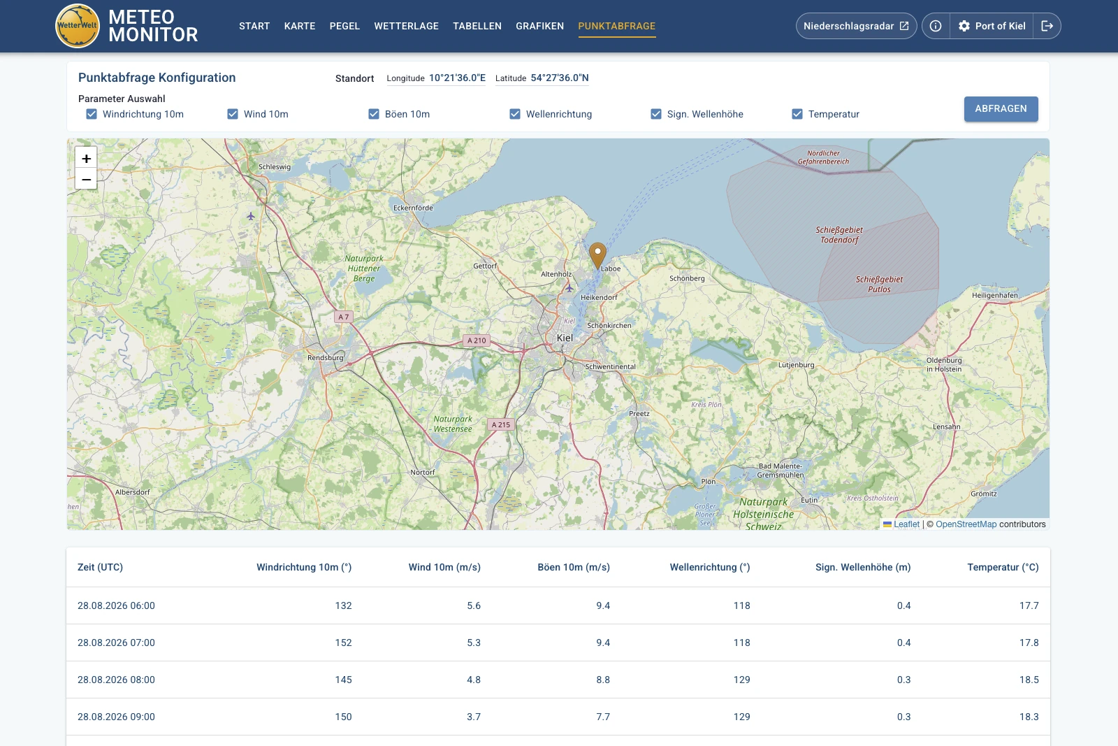
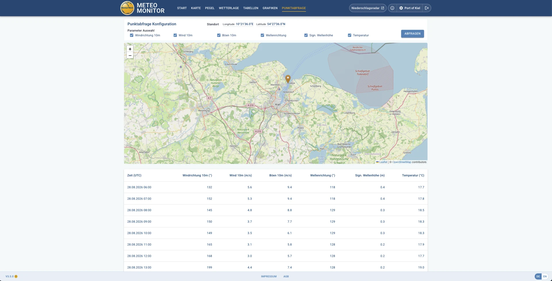
Relevant weather and wave parameters can be calculated for a freely selected coordinate and displayed in a table.
Enlarge view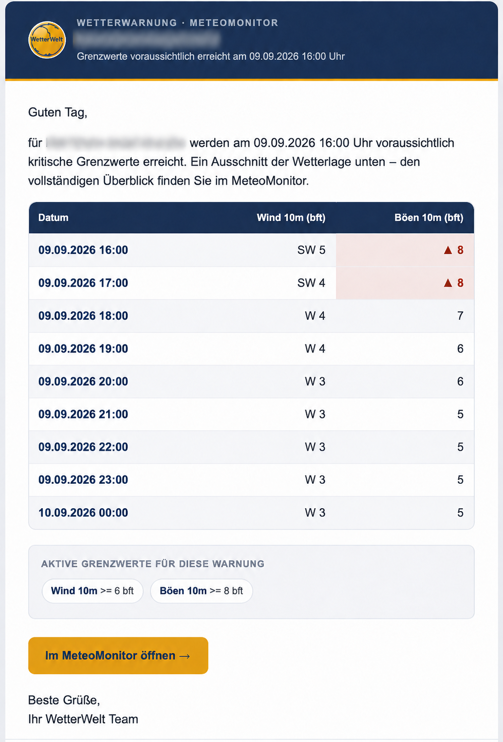
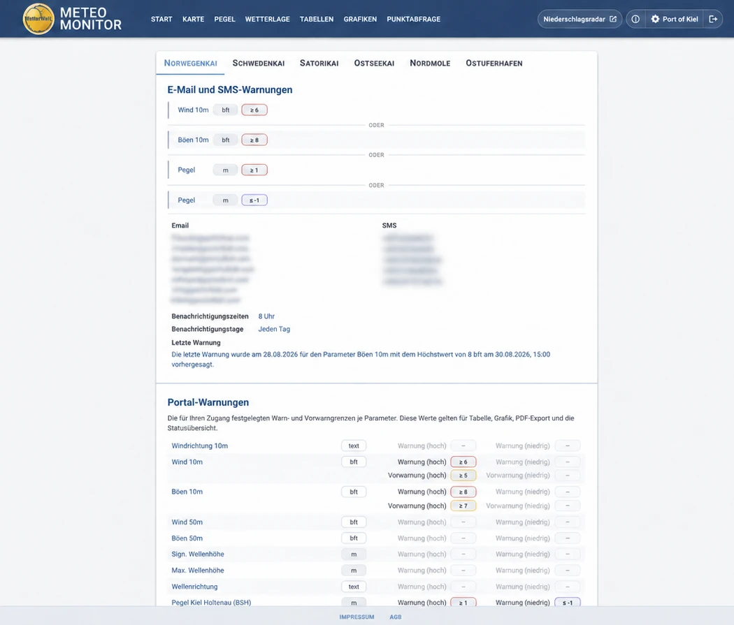
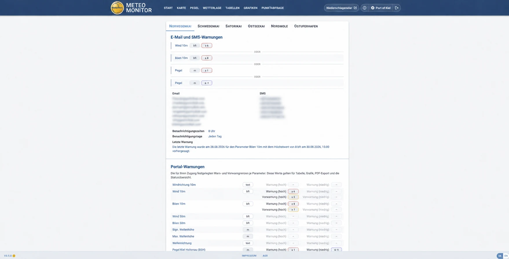
METEO MONITOR sends email alerts when thresholds are forecast to be exceeded, with SMS alerts also available. Emails include the timing, expected values, thresholds and a link to the full portal overview.
View full warningFor organisations responsible for people and infrastructure

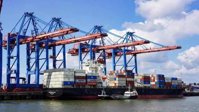
Wind, water levels and precipitation for berths, locks, cargo handling and staff deployment.

Weather windows for construction, transfers, maintenance and safe offshore work.

Site-specific limits for cranes, scaffolding, structural work and sensitive workflows.

Greater planning confidence for open-air stages, temporary structures and visitor areas.
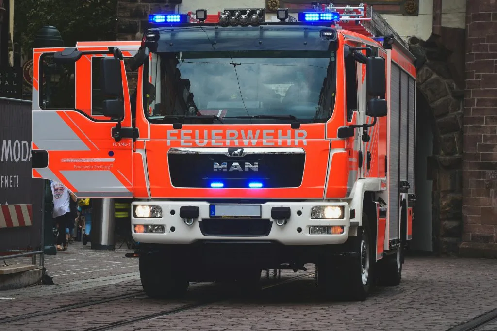
A shared weather picture for preparation, deployment planning and communication.
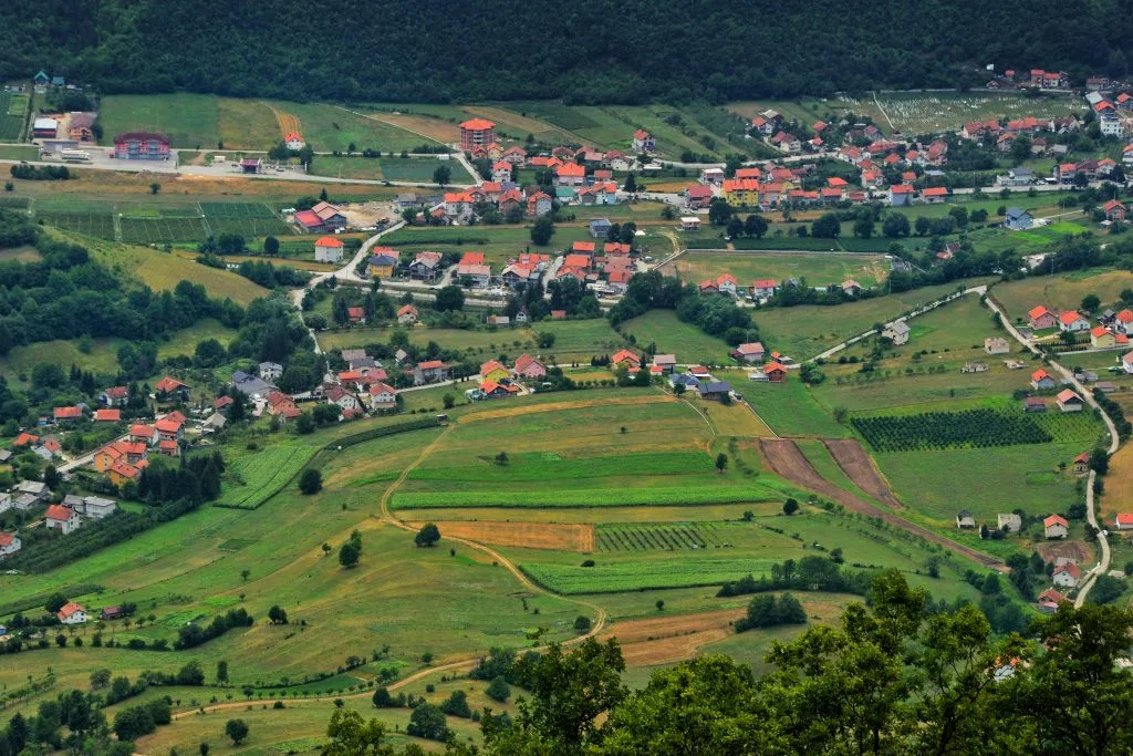
Decision support for flood protection, public works, infrastructure and public information.

“The Baltic storm surge of 2023 made one thing especially clear: warnings still do not reach everyone in time. With METEO MONITOR we have built a solution that identifies severe-weather situations early enough for users to coordinate with our team, activate their warning process and prepare.”
Sebastian Wache introduces METEO MONITOR in 53 seconds.
Eight views from the current portal.
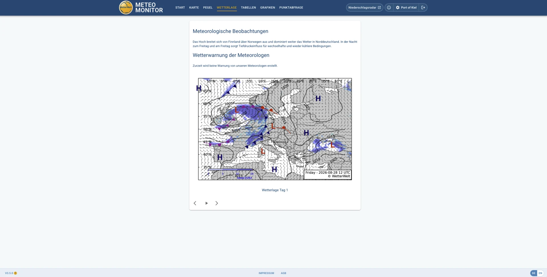
Storm and storm-surge warnings for North Sea and Baltic Sea areas.

Together with Pantaenius, WetterWelt offers a free SMS service for storm and storm-surge warnings in North Sea and Baltic Sea waters, exclusively for Pantaenius clients.
In an initial discussion, we clarify your use case, relevant weather parameters and suitable alert channels.